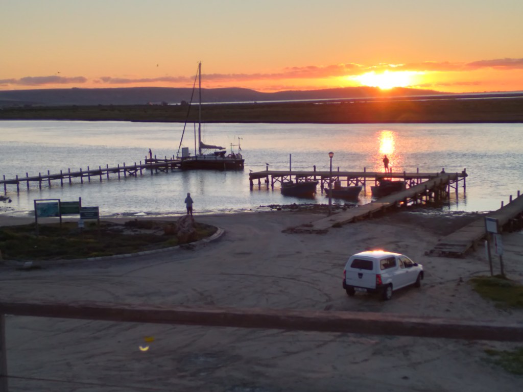
In my previous blog I wrote about what the amazing spectacle of the August-September wildflower season is all about. Once settled in to our accommodation and a good night’s rest, we woke to take in the beautiful views over the Berg River estuary, watching birds and listening to the hum of the fishmeal factory. After breakfast we were ready to go on our flower hunt.
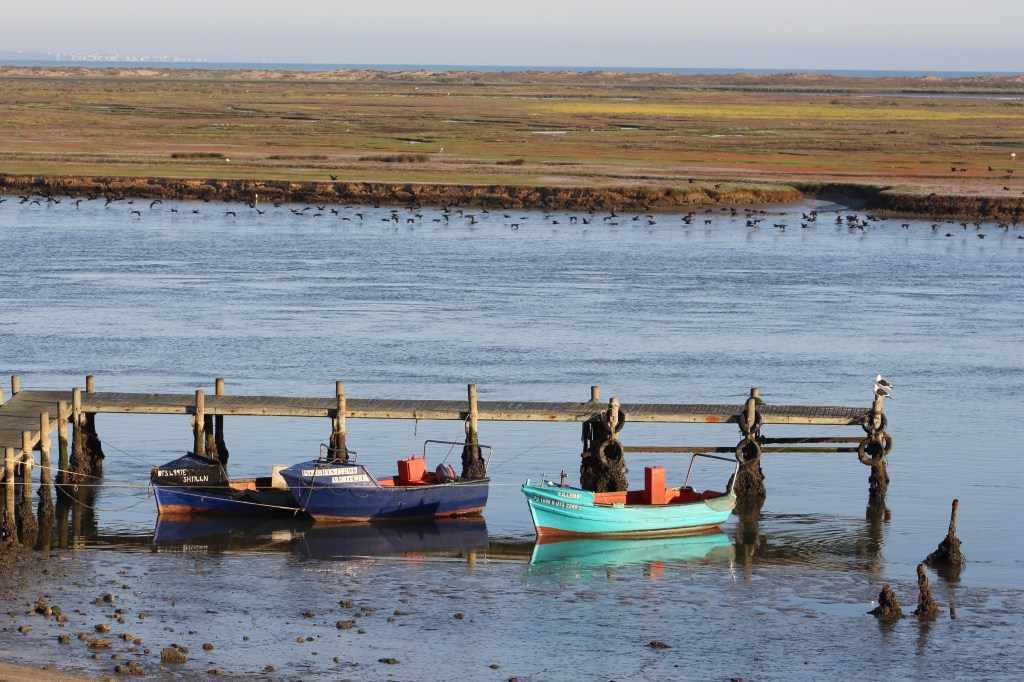
When we had watched the last of the Cape cormorants disappear down river to the fishing grounds out to sea, we quickly packed a picnic lunch and set off to the north in search of the anticipated fields of flowers. We knew we would have to travel quite some distance but were not quite sure where and how we would find the best views of flowers. Initially we had to get further north and to do this we took the road towards Lamberts Bay, which goes along the sea for most of its distance, first via Dwarskersbos, then Eland’s Bay, then cutting inland before heading back towards the sea and into Lambert’s Bay. We did not expect to see flowers along that part of the route but it is a beautiful drive anyway with lovely sea views and interesting landscapes.
The part of the West Coast region of South Africa where we were is an area defined by the Cedarberg mountains that parallel the coast some 60km inland and the largely flat quaternary coastal plain. Some outliers of the mountains add interest to the scenery of the coastal plain. Further north, where we ended up eventually, the Cedarberg mountains give way to the Great Escarpment of the Central South African plateau. The reason that I am interested in knowing about the geology of an area is because I was always interested in the relationship between the plants that grow in the soil and the rocks that the soil comes from. This is one of the reasons why I chose to study Botany and Geology – though this is many years ago now. Another reason is that my father was a botanist and his influence may have had a hand in it!
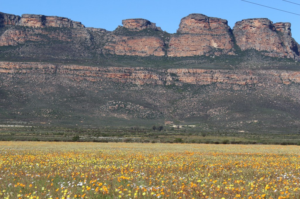
This illustrates the relationship between the soils, the vegetation and the rocks of the mountains. The sandy soils where the flowers are growing were formed millions of years ago and the mountains above the valley are now eroding to contribute to soils on which plants will grow in the future.
The land forms and rocks that we see today had their origins way back in the tumultuous events that led to the formation of the ancient continent of Gondwana around 550 million years ago. Shales and granites were the main rocks laid down during this time. This was followed by a calmer period during which a shallow basin was filled up with material from the erosion of mountains. In time these deposits hardened to form the sandstones, shales and conglomerates that make up what are called the Cape Supergroup rocks. Sometime later, around 180 million years ago the continent of Gondwana started to break up accompanied by another period of intense movement of the earth’s crust, which resulted in the uplifting of the Cape Fold mountains. This is the familiar landscape we see today. The result of this continuous cycle of movement, mountain-building, erosion and deposition means that the rocks we see now on the surface can be of very different ages and composition. For example, the ancient shales going back to the time of Gondwana form the basis of the rich fertile soils of the Swartland and are also the soils on which the indigenous Renosterveld vegetation thrives. As a result of the extensive agricultural activities of the region, much of the Renosterveld has been lost and today is only found on mountain slopes and areas too difficult to plough.
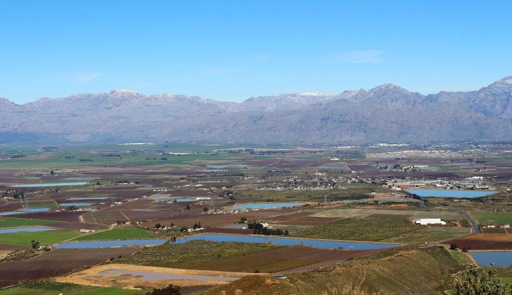
This is a photo from an earlier trip to the Gydo Pass and the Ceres valley showing the fertile farming areas on rich soils made from old weathered shales. Above the valley are the imposing mountains of the younger Cape Fold Belt.
The renosterbos is a small dark green shrub that gives the Swartland its name owing to the dark colour it appears on the hillsides. Other species that are found in this vegetation type are grasses, bulbs such as gladioli, lilies and irises as well as small herbaceous plants. We saw beautiful Arum lilies in flower particularly near Darling.
As we drove north along the coast towards Lambert’s Bay the vegetation changed in response to the underlying rocks, in this case a mixture of granite and sandstone overlain by white sand derived from unstable old sand dunes of very recent origin. Dense evergreen shrubs are accompanied by lower growing fleshy succulent shrubs, like Carpobrotus sp., as well as perennial herbs and annuals.
We stopped off briefly in Lambert’s Bay to have a look at the habour and catch a glimpse of the gannets on their island. There were several boats in the habour that we assumed were diamond mining boats not fishing boats.


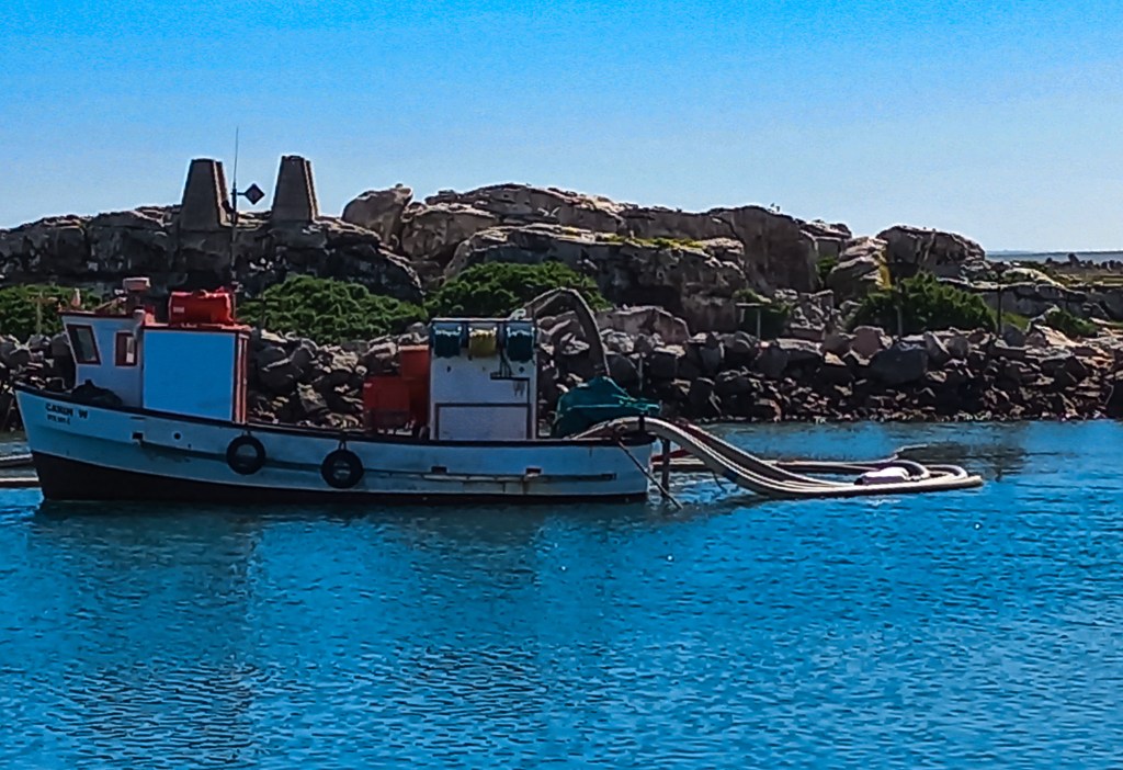
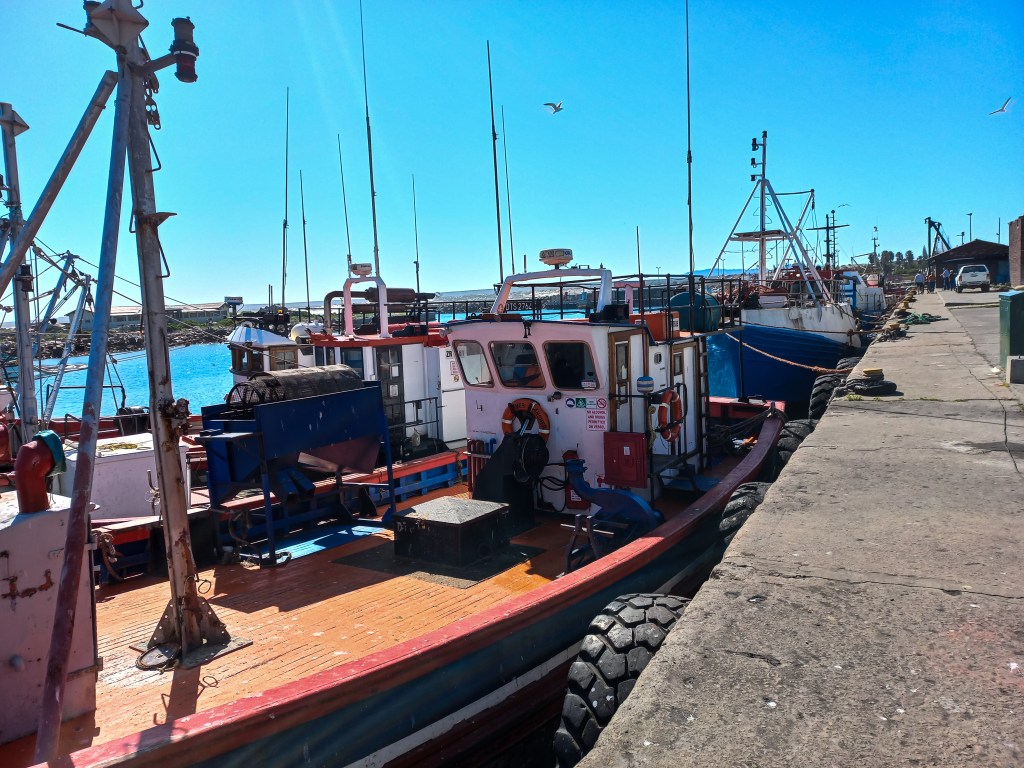
Diamond mining boats in Lamberts Bay habour with the island where the gannets nest in the background.
Turning inland from Lambert’s Bay towards Clanwilliam we began to see signs of the annual flower display we had come looking for. We had not expected to see such an abundance of flowers along this road but it was so spectacular that we were tempted to stop every few kilometres to take photographs.
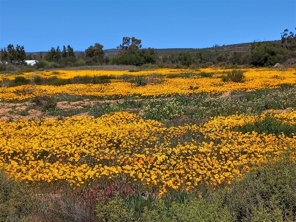
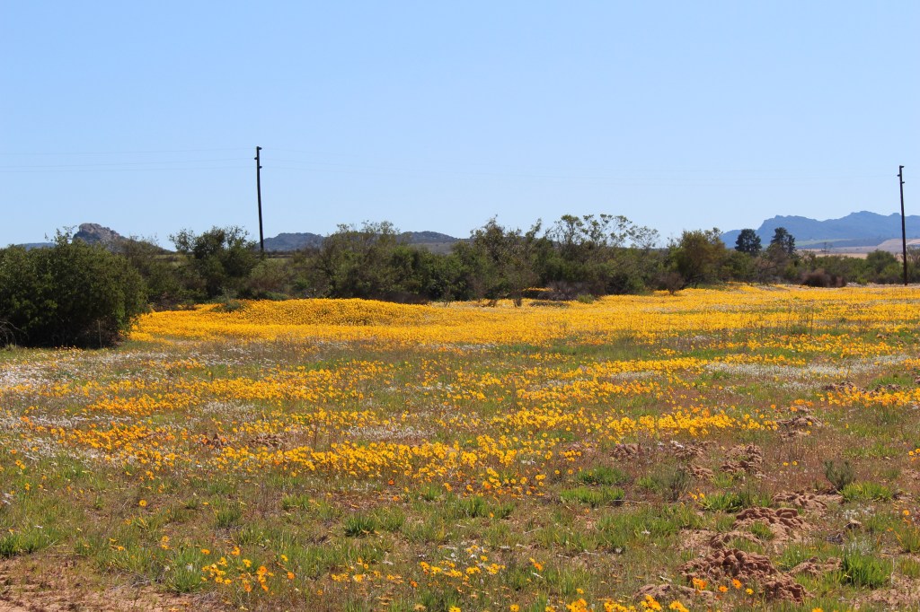
When we reached the junction with the N7 we turned north away from Clanwilliam and followed the course of the Olifants River. We didn’t expect to see much in the way of wildflowers along this part of the route either, even along the borders of the road, as this is a very heavily farmed region. However, it is quite beautiful as well with lush green lands and also has an interesting history. Today the main crops grown are citrus and grape vines, as well as vegetables. The water to irrigate these crops comes from the Olifants river, which has an amazing system of canals that originated as long ago as the 19th century. The central canal is over 200 km in length and has many tributary canals, all providing water by gravity – no pumps are used, just the gravitational pull of the water travelling from its source in the Cedarberg mountains to the coast at Papendorp. Originally the canals were just hand dug trenches but during the Second World War, Italian prisoners of war were employed to line the trenches with concrete.
Once we reached Klawer, having left the Olifants river behind, the landscape became much starker and drier and some white and orange daisies could be seen alongside the road. The underlying rocks along this part of the route are largely the sandstones of the Cape Supergroup but the lack of rainfall north of the Olifants river means that the vegetation becomes far more scanty and it changes radically in composition from the typical mountain fynbos found further south. Many succulents grow in this area as well as the famous Namaqualand daisies. There are only low growing shrubs so the overall appearance is wide open vistas stretching to the horizon.
Between Klawer and Vanrhynsdorp we began to see more and more beautiful daisies alongside the road but still no spectacular fields of flowers. Turning east along the road towards Niewoudtville the succulent vegetation became really apparent with great stretches of bright pink vygies spreading from the roadside into the distance.
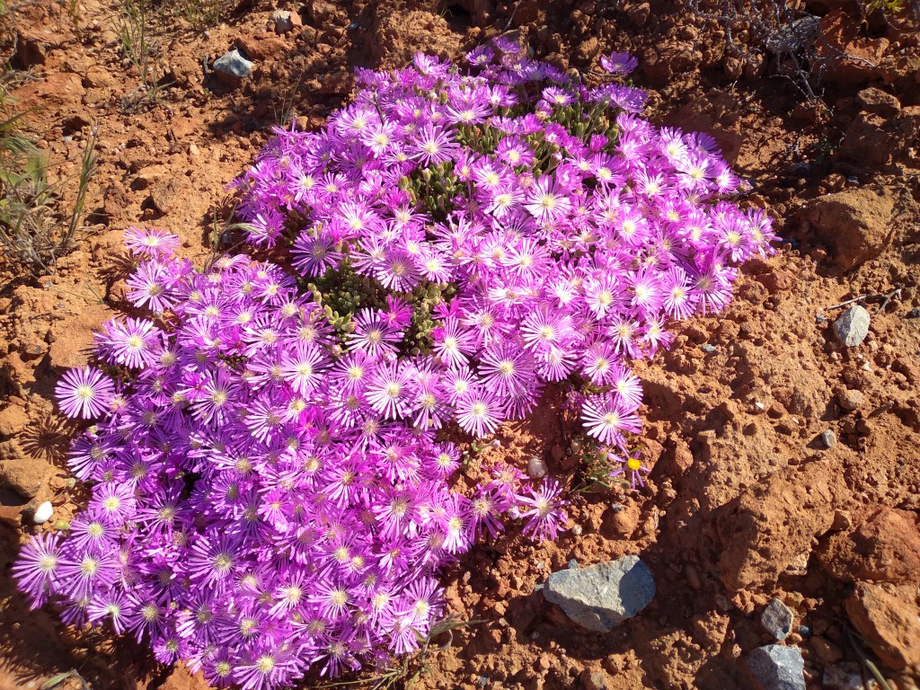
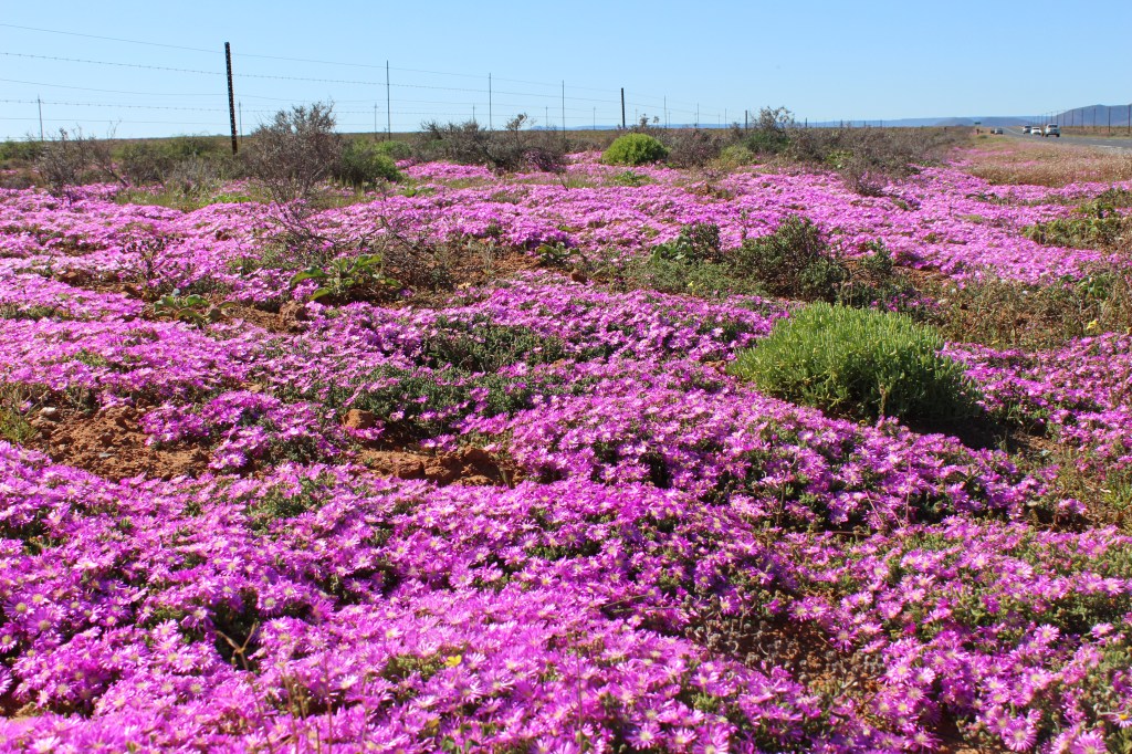
As it was well past lunch time – we had eaten our sandwiches en route – we only went about 20 km along this route before turning back to Vanrhysdorp to visit the Maskam Farm 10 km south of the town. The farm, which is cradled in a stunning amphitheatre formed by the Maskam and Gifberg mountains, offers a wild flower route of about 7.5 km through amazing fields of daisies and other flowers.
The sandy soils of the farm are well-suited to the growth of the masses of white, orange and yellow coloured daisies that bloom in August and September each year. The meandering track takes you through fields and fields of flowers with the striking mountains of the Maskam and Gifberg forming the backdrop and framing the photographs that we took.
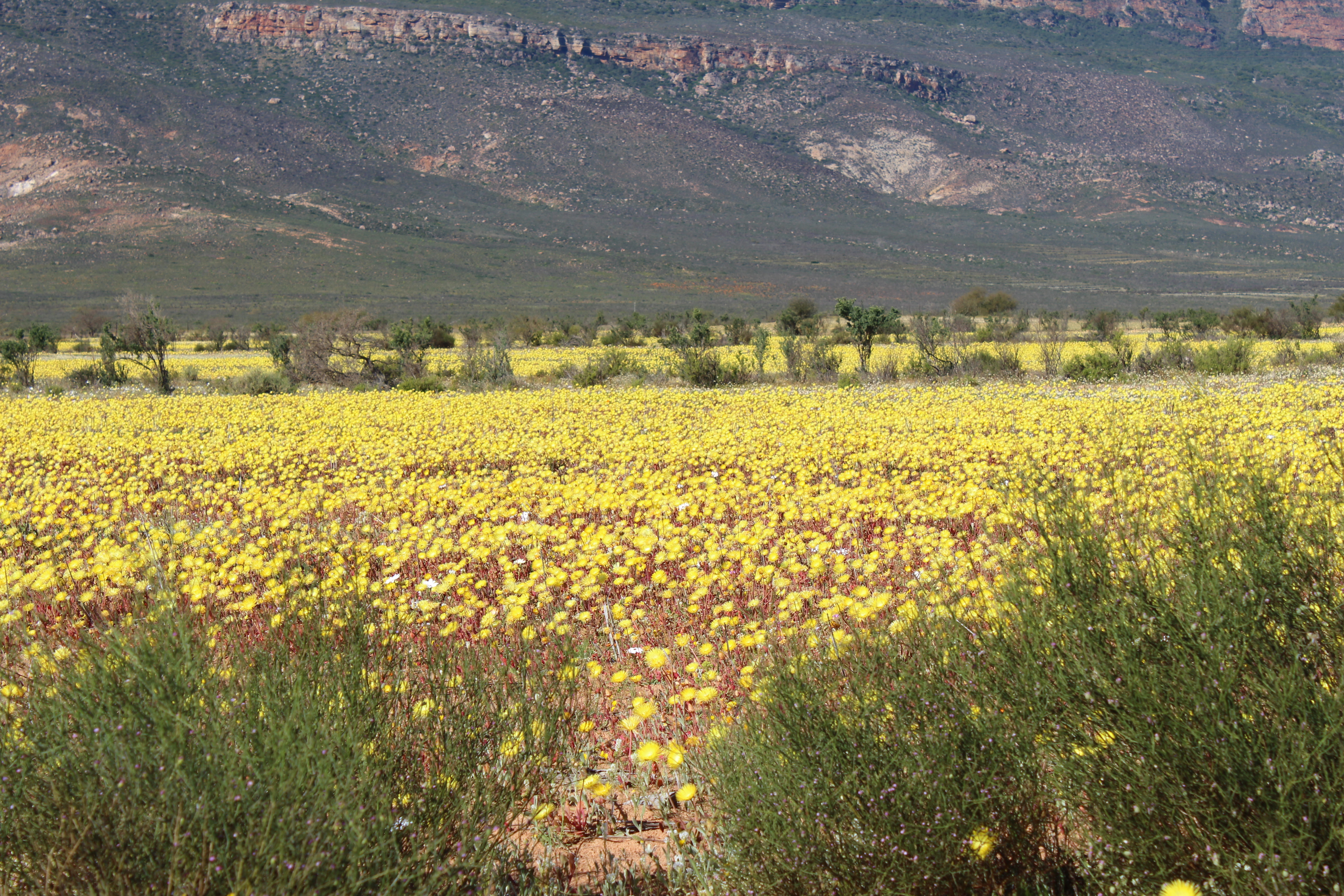
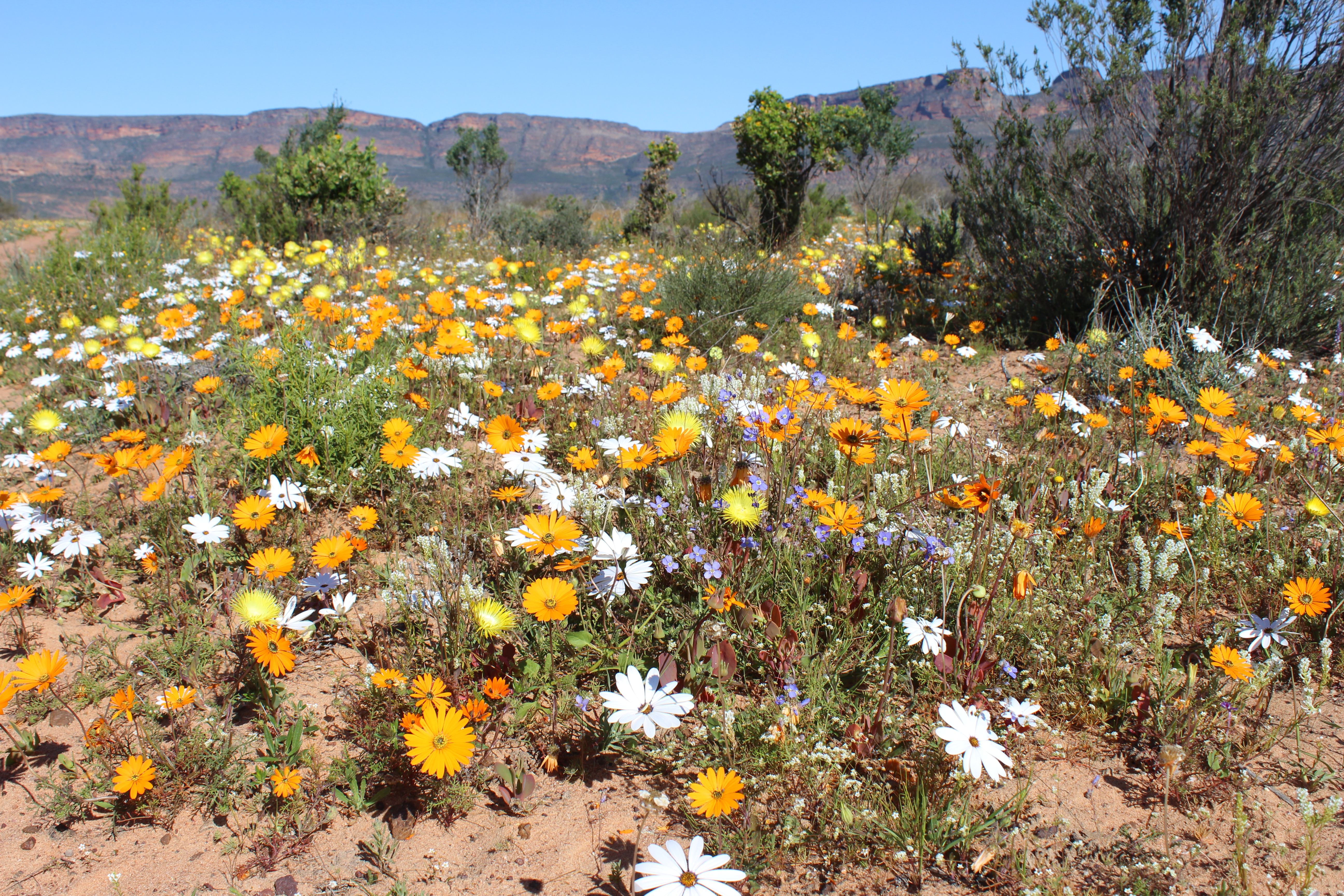
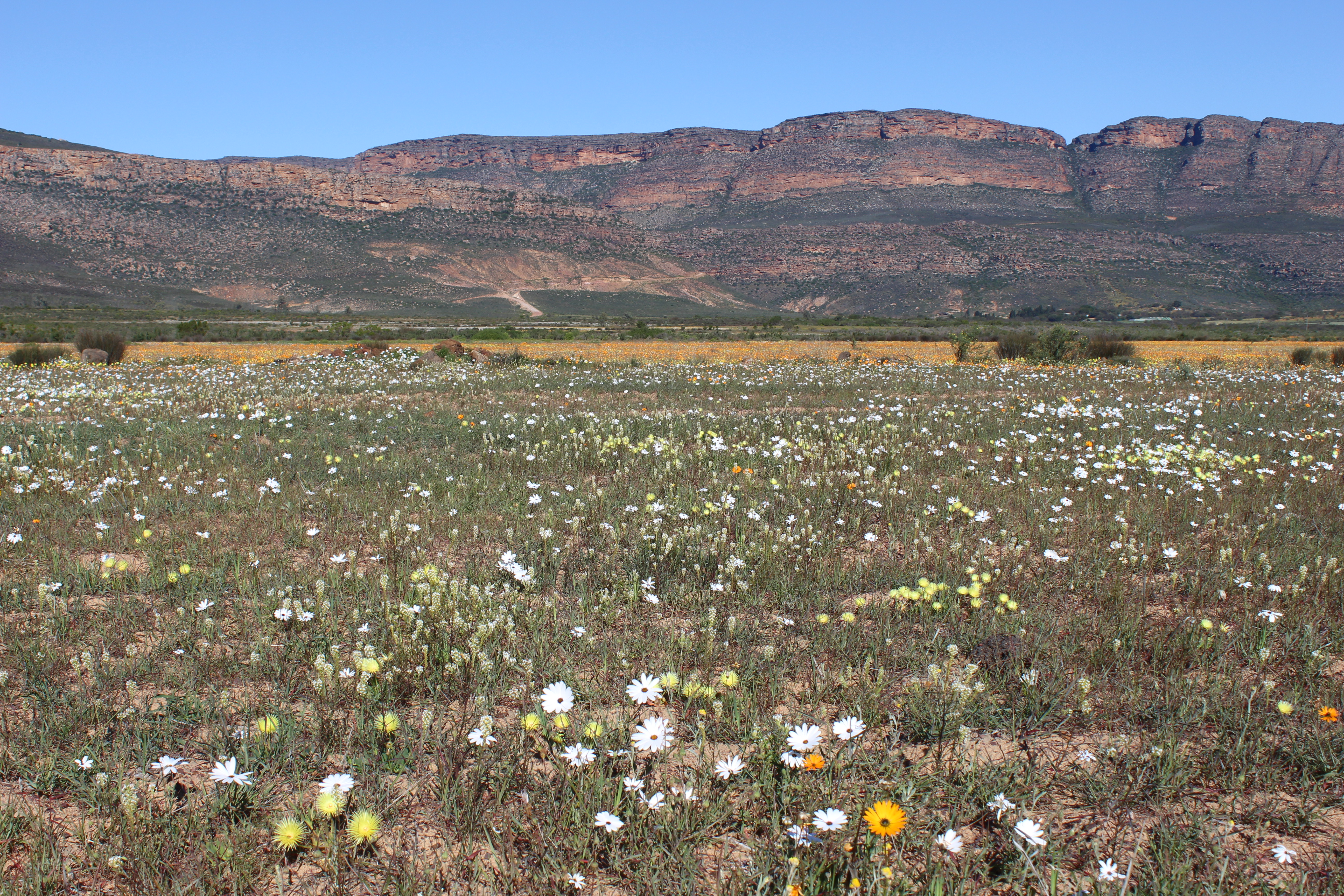
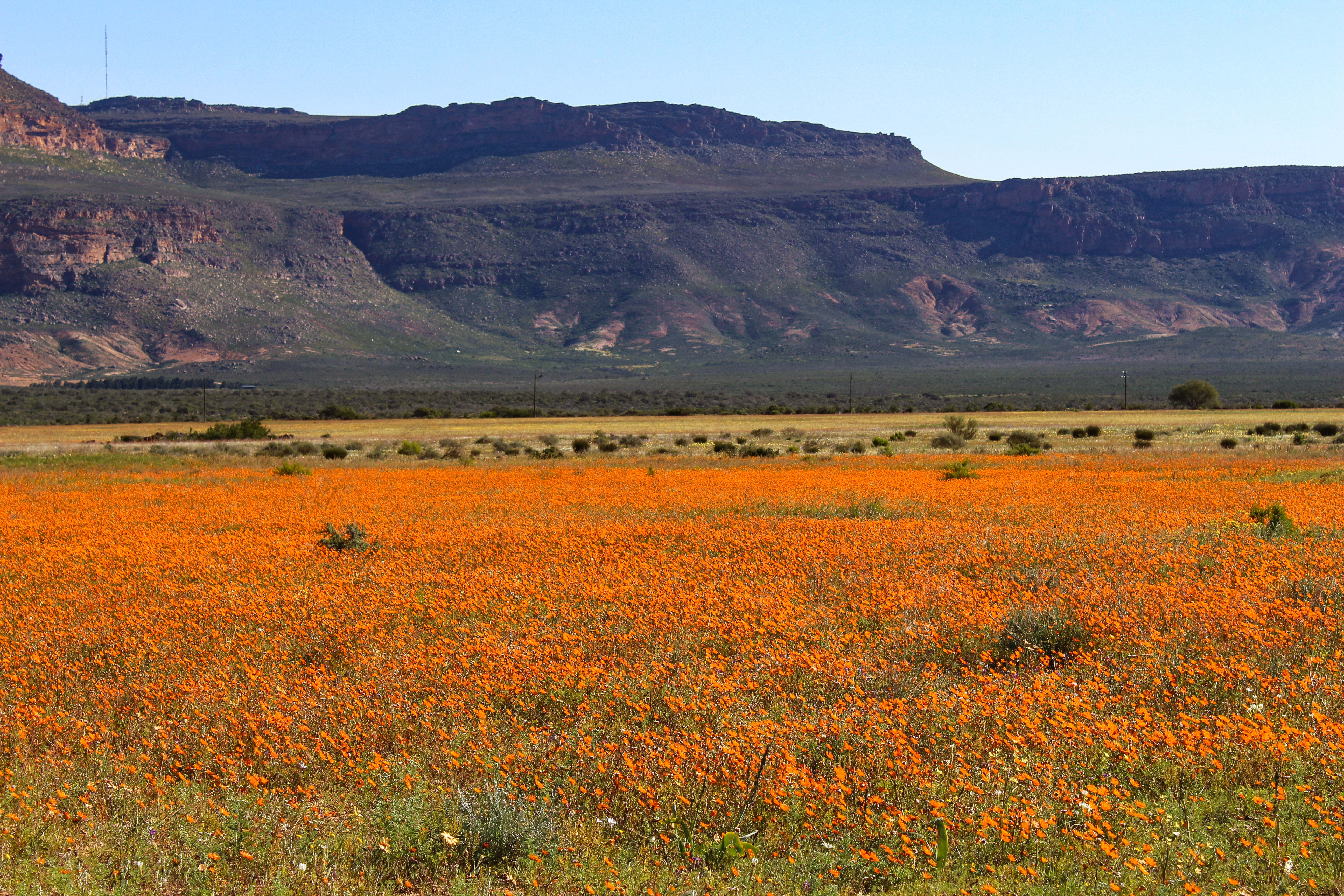
Daisies on Maskam Farm framed by Maskam and Gifberg mountains forming a spectacular amphitheatre.
By the time we had completed the circuit, it was late afternoon and the flowers were beginning to close. It was time to start heading back to Laaiplek. We went back along the N7 as far as Piketberg, retracing our steps through the Olifants River valley to Clanwilliam, then south to Citrusdal and down the Piekenerskloof Pass, passing through the rocks of the Cape Supergroup down to the older shales that are found in the Swartberg. By this time we were well into fynbos country although daisies and arums were still to be seen in the fading light. At Picketberg we turned west with the sun in our eyes, making it back just as the sun went down.